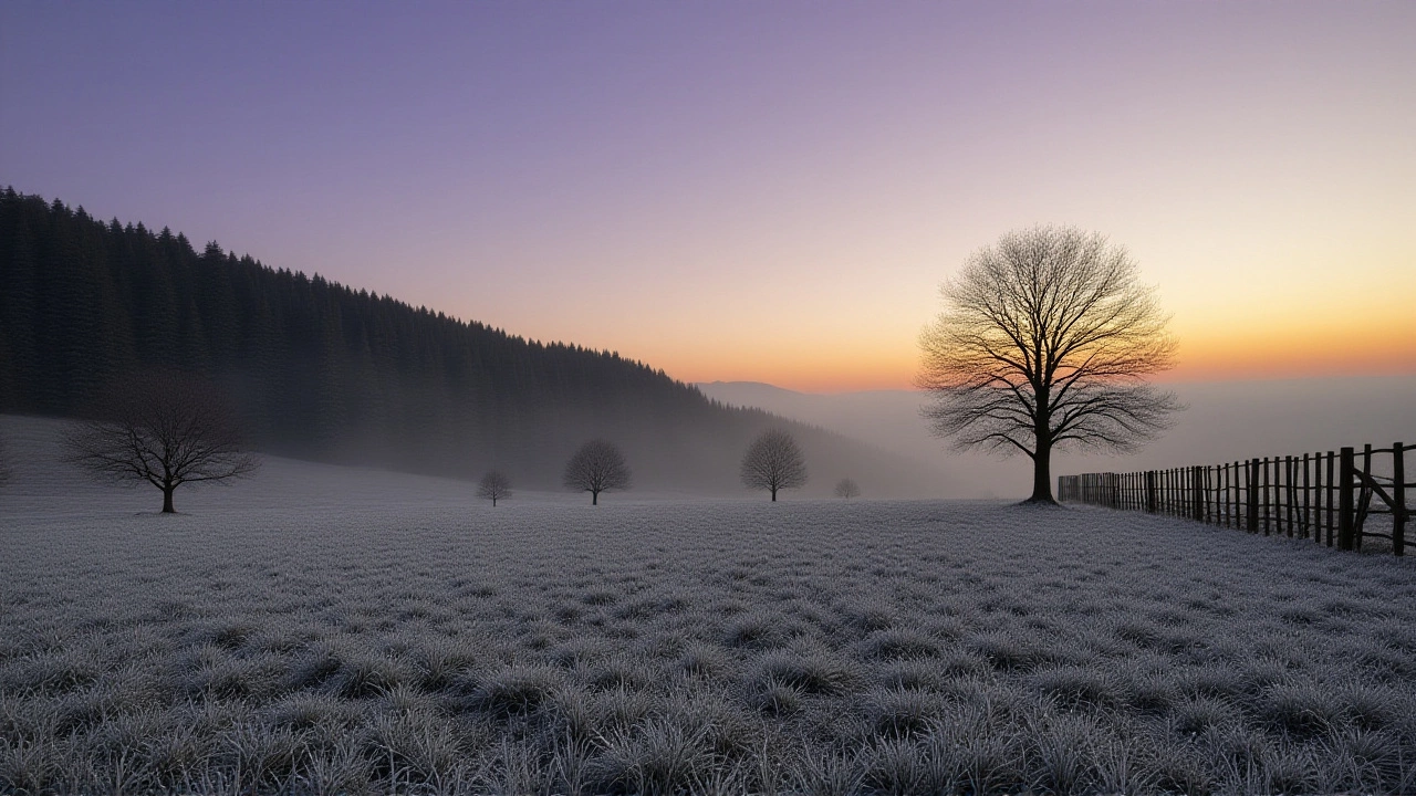
On Friday, November 21, 2025, the United Kingdom shivered through its coldest November night in fifteen years, with temperatures plunging to Tomintoul, Moray, Scotland, hitting -12.6°C (9°F). The record-breaking chill, confirmed by the Met Office and reported by BBC and Sky News, wasn’t just a number on a thermometer—it was a full-blown weather event that froze roads, shuttered schools, and turned highland valleys into winter wonderlands overnight. What made this night different wasn’t just how cold it got, but how still it was. Light winds let the Arctic air sink like ink into the valleys, pooling where it could linger longest.
A Cold That Settled Like Dust
The culprit? A stubborn ridge of high pressure stretching from the mid-Atlantic across Greenland, acting like a dam holding back frigid air from the Arctic. Normally, winds would stir things up, mixing the cold with warmer layers. But this time, as forecaster Simon Partridge told Sky News, "the main difference between that and previous nights is the winds are a lot lighter." That stillness was the game-changer. In places like Tomintoul, nestled in the Cairngorms, the cold didn’t just arrive—it settled in, thick and heavy, for hours.
According to severe-weather.eu, the 850 mbar temperature layer—roughly 1,250 meters up—shifted from 7-8°C above normal to 5-10°C below normal in just three days. That’s a 20°C swing in under a week. For context, that’s like going from spring to mid-winter without turning the dial. The cold didn’t stop at the UK’s borders. It spilled across Western Europe, bringing snow to the Scottish Highlands, the Pyrenees, the Alps, and even the higher peaks of northern Spain and the Apennines.
When the Arctic Comes Calling
What made this even more alarming was the warning signs that had been flashing for days. Aidan McGiver, a meteorologist with the Met Office, had flagged a possible sudden stratospheric warming (SSW) event weeks earlier. SSWs—where the upper atmosphere warms rapidly, disrupting the polar vortex—are rare but powerful. They’ve been linked to the infamous "Beast from the East" in 2018, when snow paralyzed the UK for weeks. McGiver noted that SSWs increase the odds of a major cold snap by 70 percent within two weeks. This time, the dominoes fell just as predicted.
"From the clash of Arctic and North African air masses to the impacts of heavy rain, flooding, and significant snow, the country is experiencing a wide range of conditions," the Met Office stated, highlighting the stark contrast between frostbitten glens and sunny, mild coastal towns. In some places, people woke up to snow-dusted gardens. In others, rain poured down. The UK’s maritime climate usually smooths out extremes—but this week, it didn’t.
Snow, Disruption, and Unexpected Ski Days
The snowfall wasn’t just picturesque—it was disruptive. In the Scottish Highlands, schools closed. Transport operators issued warnings for black ice on A-roads. But for some, the cold brought joy: ski centers in Aviemore and Glenshee reported their earliest-ever opening days. Local operators said they’d never seen natural snowfall this early in November—let alone enough to cover runs.
Even in southern England, where snow is a novelty, dustings appeared on the South Downs and the Chilterns. The Met Office issued yellow warnings for ice in 14 counties. Emergency services reported a 40% spike in road accident calls compared to the same period last year. Hospitals saw more falls among the elderly, especially in rural areas where gritting was delayed by snowdrifts.
What Comes Next?
By Thursday, November 27, 2025, temperatures were expected to climb back to seasonal norms: 8-11°C across most of the UK. Atlantic lows would roll in, bringing rain and wind, washing away the frost. But the lingering question isn’t just about this week—it’s about what’s next.
Climate scientists caution that while this event was extreme, it wasn’t unprecedented. The UK has seen similar cold snaps before, often tied to Arctic oscillations. But the frequency of these events, combined with warmer-than-average sea surface temperatures in the Mediterranean, is creating more volatile weather patterns. The same warm Mediterranean air that fueled thunderstorms over the Adriatic also helped keep the Arctic air locked in place longer, making the cold snap deeper and more persistent.
"We’re not seeing more cold weather because of global warming," said Dr. Eleanor Hargreaves, a climatologist at the University of Edinburgh. "We’re seeing more extreme swings. The system is out of balance. When the Arctic warms faster than the tropics, the jet stream gets wobbly. That’s when the cold air escapes—and when it does, it doesn’t just visit. It lingers."
Background: The Ghosts of Past Cold Snaps
The last time the UK saw a November as cold as this was 2010, when Llysdinam, Powys, Wales, hit -18°C. That winter became legendary—schools closed for weeks, trains stopped, and the River Thames froze in places. The 2018 "Beast from the East" was another wake-up call. This year’s event was shorter but just as intense in its peak. What’s changed? Forecasting. Today, meteorologists can predict these events with far greater precision. The Met Office’s SSW tracking tools, now refined over a decade, gave communities nearly two weeks’ notice. That’s not nothing.
But preparedness still lags. Many local councils still rely on aging gritting fleets. Rural communities, especially in the Highlands and Northern England, lack the resources to respond quickly. And while national media covered the cold snap, the human toll—frozen pipes, heating bills doubling, elderly residents isolated—got less attention.
Frequently Asked Questions
Why was Tomintoul so much colder than other parts of the UK?
Tomintoul sits at 345 meters above sea level in a deep valley surrounded by mountains, making it a natural cold trap. With light winds and clear skies, heat escaped rapidly overnight, allowing temperatures to plummet. Similar valleys in the Cairngorms and the Pennines also saw record lows, but Tomintoul’s elevation and sheltered location made it the coldest recorded point.
How does a sudden stratospheric warming lead to a cold snap?
A sudden stratospheric warming disrupts the polar vortex—a band of strong winds that normally keeps Arctic air locked in the north. When it weakens, cold air spills southward. The Met Office has found this increases the chance of a UK cold snap by 70% within 10–14 days. The 2018 "Beast from the East" followed this exact pattern, and this November’s event was a textbook case.
Was this cold snap caused by climate change?
Not directly. This was a natural weather event driven by atmospheric patterns. But climate change may be making these events more likely by warming the Arctic faster than the rest of the planet, destabilizing the jet stream. The result? More extreme swings—hotter summers, colder winters, and more unpredictable transitions between them.
Why did snow fall in places like northern Algeria and the Balkans?
The same Arctic air mass that hit the UK extended south into Europe. Moisture from the still-warm Mediterranean combined with the cold air, creating ideal conditions for orographic snowfall over mountain ranges like the Pyrenees and Apennines. Even parts of northern Algeria, where snow is rare, saw measurable accumulations above 1,500 meters.
How long will the cold last, and will it return?
Temperatures are expected to return to seasonal averages of 8–11°C by November 27, 2025, as Atlantic lows bring rain and milder air. But with SSW events still active in the stratosphere, another cold pulse could arrive in early December. The Met Office is monitoring the pattern closely, especially for potential impacts on Christmas travel.
What should people do if another cold snap hits?
Keep emergency supplies: blankets, non-perishable food, water, and a battery-powered radio. Check on elderly neighbors. Keep car fuel tanks at least half full to prevent fuel line freezing. Avoid unnecessary travel, especially overnight. Local councils have priority routes for gritting—but rural roads may be slow to clear. Stay informed via the Met Office app or BBC Weather.